


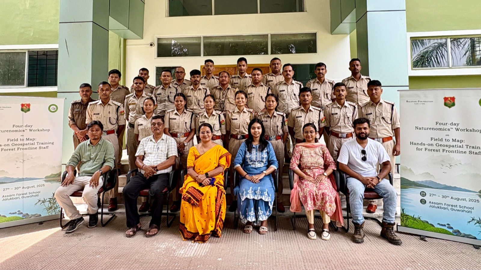
Jalukbari: Balipara Foundation, in collaboration with the Assam Forest School, Jalukbari, under the Department of Environment, Forest and Climate Change, Government of Assam, recently concluded a four-day workshop on “Field to Map: Hands-on Geospatial Training for Forest Frontline Staff.”
Held from 27th to 30th August, the training brought together frontline staff from across Assam, including Dibru-Saikhowa National Park, Dhansiri Forest Division, Hailakandi and Doom Dooma Division. The programme combined field exercises with digital sessions to equip participants with practical skills in GPS, GIS, and spatial data analysis.
The participants were trained in the use of freely available tools such as Google Earth, Mapillary, NoteCAM/Conota Camera, and GPS Essentials for data collection, mapping, and real-time visualization. They also explored Global Forest Watch for near real-time forest monitoring and learned the basics of QGIS, an open-source GIS software, to analyze data and create integrated maps for forest management.
Highlighting the importance of the initiative, Dimpi Bora, IFS, Director of Assam Forest School, said, “Training in GIS and GPS is one of the most sought-after skill sets for frontline forest staff. It is encouraging to see this knowledge being made accessible through hands-on workshops.”